| Übersetze Webseite auf |
|
|
VIDEOS | ABOUT US | CONTACT |
| 14.03.2024 - 15.03.2024 |
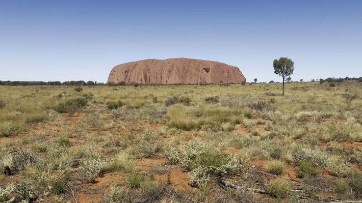
We are on the way, 320 kilometers, to Australia's most famous landmark Uluru, still known as Ayers Rock. It is located in the Uluru-Kata Tjuta National Park.
If you look at the huge boulder from a distance, you would think that it fell straight out of the sky. The geological history of its origins proves that this is not the case. The rock is a rock that is heavily cemented and therefore harder than the surrounding layers. Over the millennia, the area rose and was simultaneously eroded by wind, water and temperature erosion. What remained was a massive rock. Uluru has no continuous fissures and is therefore considered by many to be a monolith. From a strictly geological point of view, it is not, as it is only the tip of an underground base.
The first Europeans to see Uluru were Ernest Giles and William Gosse in 1872. With the rise of tourism, a tough battle began in 1976 between the government and the indigenous people, who consider the mountain to be their traditional property. Finally an agreement was reached: the area around Uluru and the rock itself was returned to the Aborigines on October 26, 1985. Therefore the official name is Uluru / Ayers Rock.
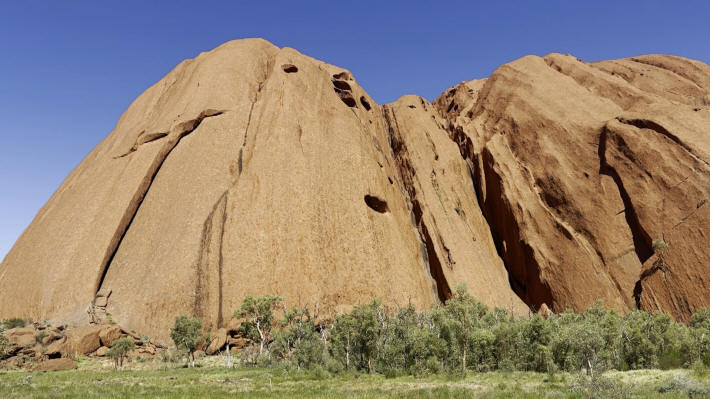
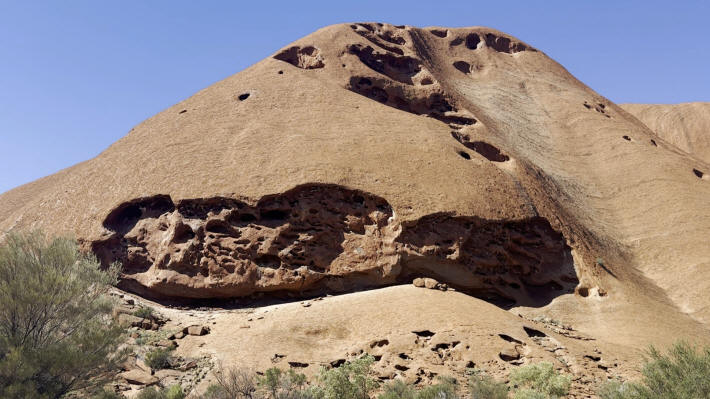
Uluru offers unique opportunities for photography. Due to the iron content in the stone, the rock always has a reddish shimmer and changes its color particularly dramatically with the rising and setting sun.
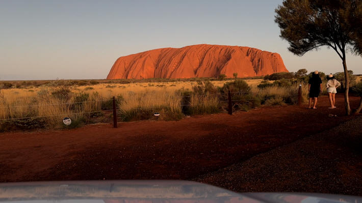
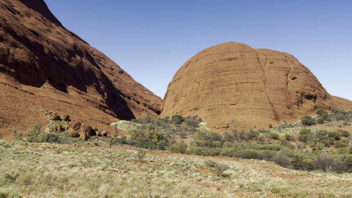
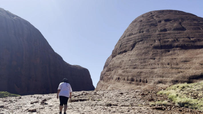
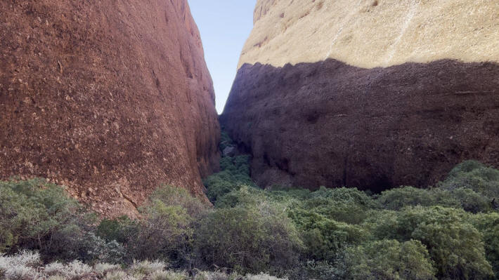
On the second day in the national park we visit the Olgas, or Kata Tjuta as the Aborigines call them. The Olgas are located 32 kilometers west of Uluru.
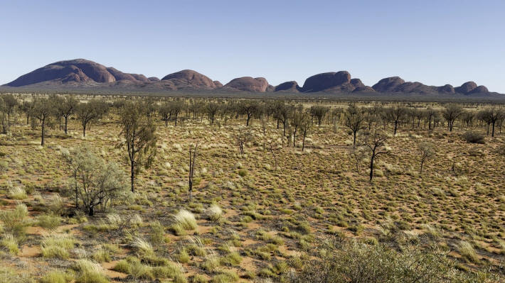
The Olgas emerged at the same time and in the same way as Uluru. The Kata Tjuta were given the name The Olgas by their discoverer Ernest Giles. Ernest Giles felt obliged to his sponsors, King Charles and his wife Queen Olga of Wüttemberg.
